Topographical Surveys
A topographical survey maps the exact shape, features and levels of a site — ground contours, buildings, walls, roads, manholes, utility covers and boundaries — all positioned to survey-grade accuracy. It’s the foundation architects, developers and engineers rely on before design, planning submission, boundary work or a land transaction can proceed with confidence.
Rather than staking out points on the ground, results are delivered as contour and detail plans. These give you the elevations, slopes and levels needed to design, budget or negotiate with certainty — particularly useful if you’re intending to build on the land. Measurements are captured using high-accuracy GNSS and electronic total station (EDM) instruments.
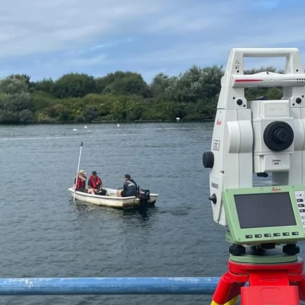
Positions are recorded to sub-centimetre horizontal and vertical accuracy, referenced to any point or feature on site, then processed into whichever CAD or BIM format your team works in. At Formby Surveys, every survey is carried out to the RICS Specification for Surveys of Land, Buildings & Utility Services and TSA guidelines.
Each one passes through our minimum 100-point quality assurance process before it reaches you — covering site work, scope adherence, data validity and CAD delivery. You’ll have a clear, itemised fee proposal within 48 hours, and we’re typically on site within a week of acceptance.
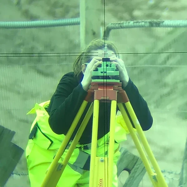
Every enquiry gets direct access to a senior surveyor from the first phone call, not a call centre or account manager. That’s true whatever the size of your project — from under £1,000 to over £100,000, handled by the same senior team throughout.
We’re also one of the few survey firms in the UK offering IVRPA-accredited 360° photography and panoramic tours alongside the survey itself, giving stakeholders a navigable site record they can explore without booking another visit.
How can we assist?
Contact us to discuss your requirements, or request a quote, and see how our experience and knowledge can help you on your next project.
Benefits of Topographical Surveys
- Design and plan with certainty — data checked against a named, checkable standard (RICS/TSA) and a 100-point QA process, not just a vague "accuracy" claim.
- No waiting around — itemised fee proposal within 48 hours, on site typically within a week.
- A senior surveyor, not a queue — direct contact from first enquiry to delivery, on projects from under £1,000 to over £100,000.
Deliverables
- Detailed 2D/3D contour and detail plans (CAD/BIM-ready) showing levels, features, boundaries and services.
- A fully itemised, QA-checked fee proposal and survey report confirming scope and standard.
- IVRPA-accredited 360° photography and panoramic tour of the site.