Topographical Surveys
Why Topographical Surveys matter
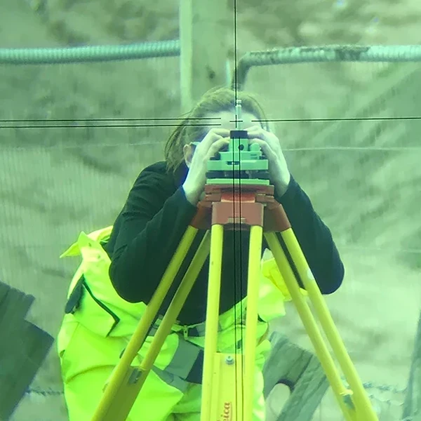
A topographical survey identifies and maps the natural and built environment and is usually one of the first critical steps that determines how smoothly your project progresses.
Get it wrong, or get it late, and the delays and redesign costs land much further down the line, which is why every survey we produce is checked through robust QA process and backed by a clear delivery timescale from the outset.
Deliverables WE provide
- Robust, adjusted survey control station network.
- Detailed 2D/3D detailed contoured plans.
- Fully detailed surface features & finishes.
- Easy to use layered data with layering filters.
- Accurate, scaled survey drawing(s) in usable formats.
Outcomes WE deliver
We aim to provide an itemised fixed-fee proposal within 48 hours & can typically attend site to undertake the survey within a week and We ensure direct contact from first enquiry to delivery with a senior member of the team.
The outcomes from our topographical surveys will allow your projects to be designed & planned with certainty as our data is processed and compiled in accordance with RICS standards & TSA guidelines.
How our process works...
Step 1
Step 2
Step 3
Step 4
Frequently Asked Questions
What deliverables can be produced from a topographical survey?
Our surveys include all surface features, changes in level, surface types and overhead information. They are a complete representation of the area required and can also be provided in local or national OS grid cordinates or related to an existing survey control network.
What deliverables can be produced from a topographical survey?
Depending on your brief, we can supply survey drawings and digital survey data in formats that suit your design and construction workflow.
Can a topographical survey be combined with other measured survey solutions you provide?
Can additional survey information be added in the future or can existing surveys be updated?
Sites can change over time and also expand and adding to previous surveying projects is a straight-forward process. We aim to establish robust survey control on sites so if additional survey work is required then this can easily be related to previous survey data.